


Inspiration
Hike 8 of Connecticut’s Coolest Treks
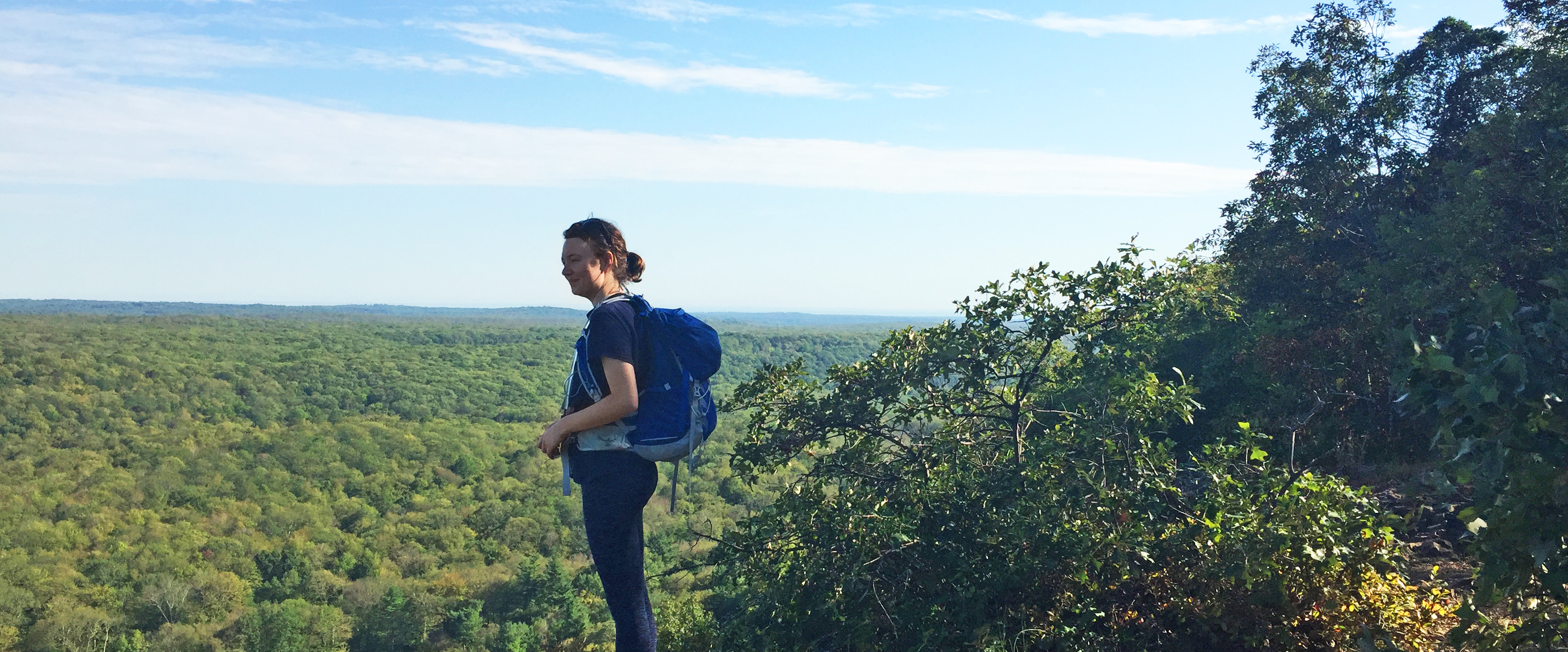
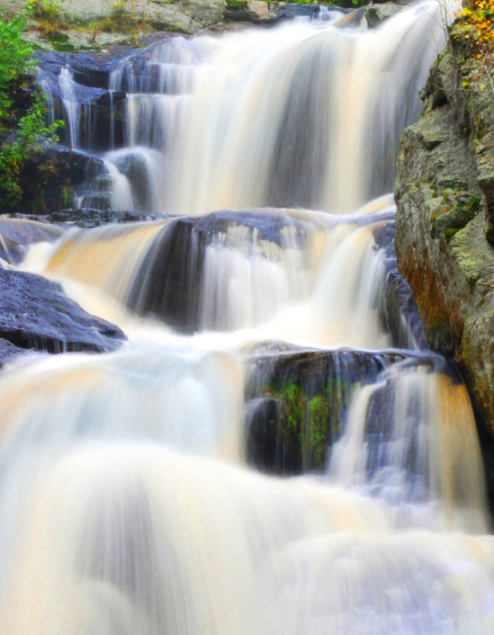
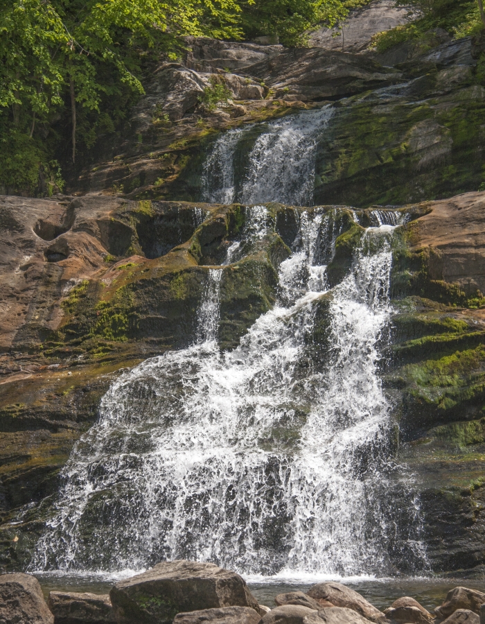
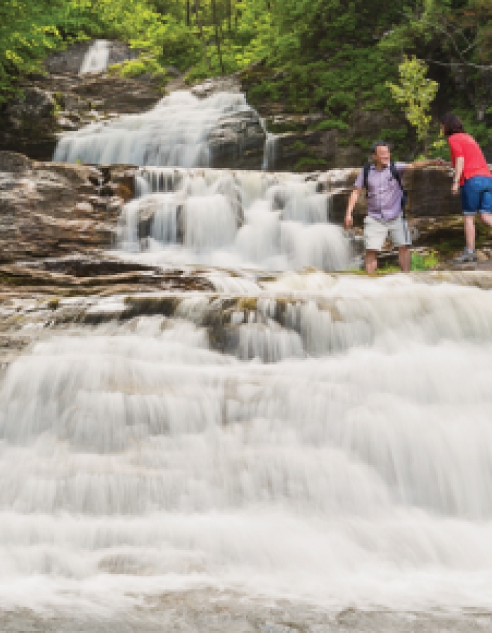
Did you know Connecticut is #1 in the U.S. for hiking? Whether passing through forests, along mountain ridges or in wetland preserves, Connecticut’s hiking trails offer a range of things to experience, from soaring views and lush scenery to winding rivers and even a waterfall or two. So we got some advice from someone who knows them well. Rob McWilliams is an avid hiker who details his four-season adventures on western and central Connecticut trails in his blog, McWilliams Takes a Hike. He shared a few of his favorite hikes with us, along with tips on what to look for, how to get there and even where to park (including GPS coordinates).
Macricostas Preserve, Washington
Take a hike through fields, wetlands and forest to Waramaug’s Rock; then drink in the view of beautiful Lake Waramaug far below. Follow the Meeker Trail’s most direct route to the Rock for a 2- to 3-hour roundtrip hike. Be prepared for one steep climb. Pack water, and a snack for the summit. Dogs are permitted on a leash.
Parking: Christian Street, New Preston (GPS: 41.682267, -73.333644).
Steep Rock Association
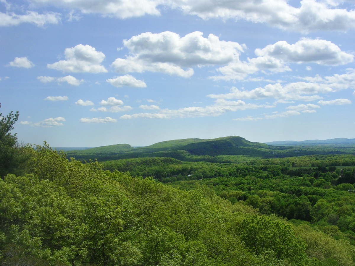
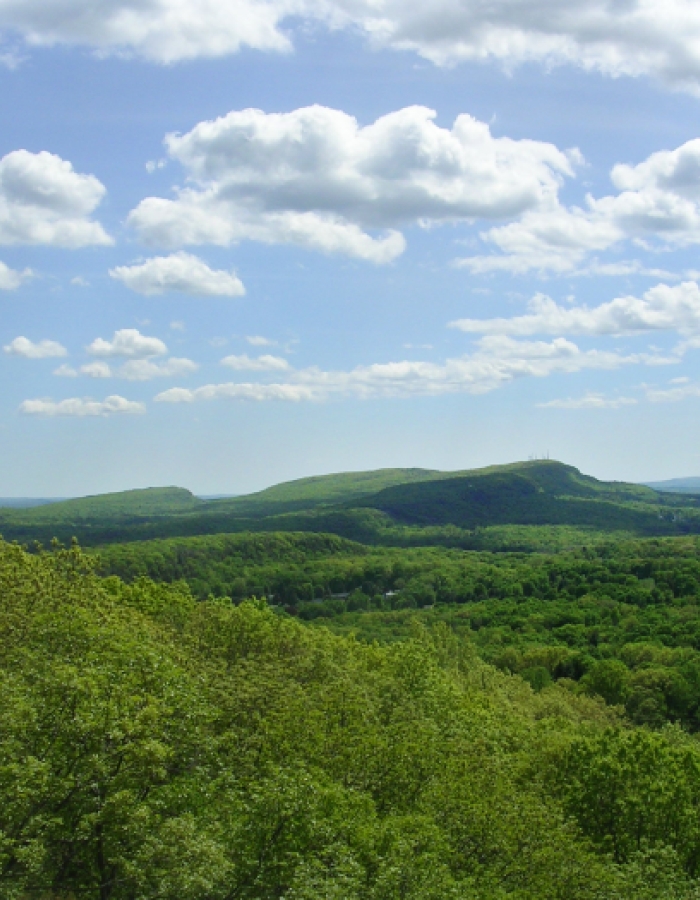
Ragged Mountain, Southington
Take a rugged, all-day hike to big views from Ragged Mountain, taking in – on a clear day! – Hartford, the Metacomet Ridge, and the beautiful Hanging Hills. Follow the blue-blazed Metacomet/New England Trail south to Ragged Mountain summit, and return by the same route for a 10-mile roundtrip trek. Take food and lots of water. Ragged Mountain Preserve also offers options for shorter hikes.
Parking: Park (carefully) on Andrews Street, Southington (GPS: 41.630061, -72.833550).
Devil’s Den Preserve, Weston
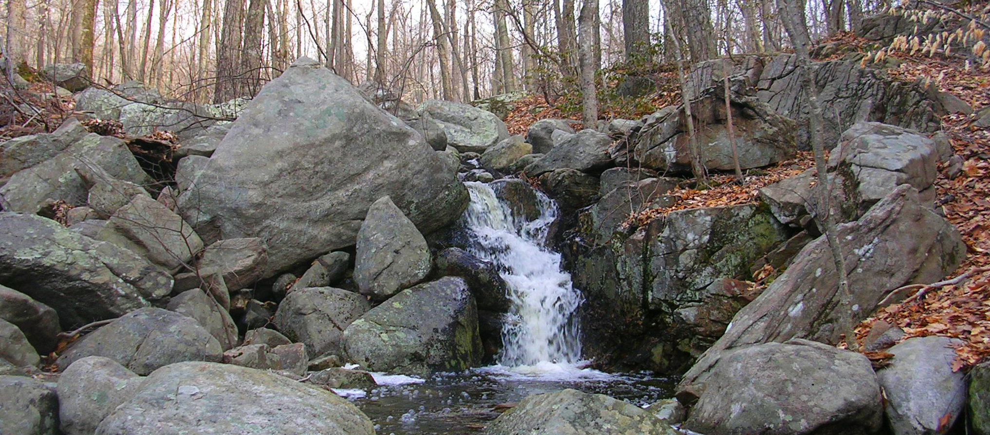
Escape into peaceful woods of Devil’s Den Preserve, savoring a landscape of brooks, rocky outcrops, and vernal pools. Go a few days after rain, and you might see Ambler Brook cascade through its atmospheric gorge. Using the Den map, from the parking area hike to post number 17, then follow the Saugatuck Trail to post 12, the Ambler Trail to post 44, and the Den and Pent trails back to the parking area. Be prepared for some soft ground and gentle climbing on this 3-mile hike. Dogs are not permitted.
Parking: Pent Road, Weston (GPS: 41.237214, -73.396318).
Appalachian Trail along the Housatonic River, Sharon
Walk an easy section of the fabled Appalachian Trail beside the banks of our second longest river, taking in the Housatonic’s steep, wooded valley and magnificent river scenes. Follow the Appalachian Trail's white blazes south on flat trail for just as far as you want. A hike to Stewart Hollow Brook lean-to and back would be 4-5 miles. Take water and snacks. Dogs under their owner’s control are permitted.
Parking: River Road, Sharon (GPS: 41.807935, -73.391447).
Saugatuck Trail, Easton
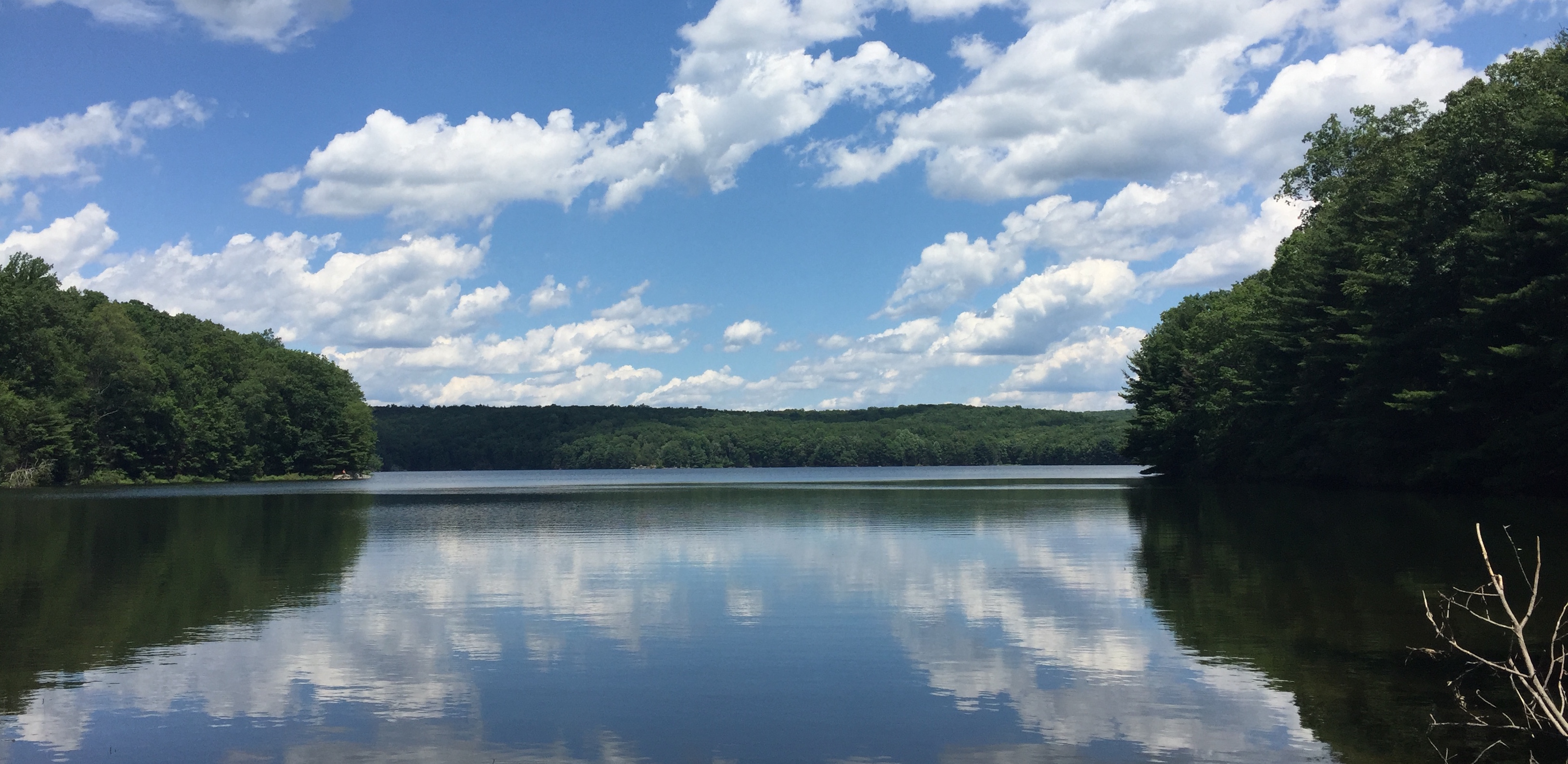
Choose a section of Fairfield County’s woodland Saugatuck Trail to suit your ambitions, or hike it end-to-end! Either way, you’ll find soothing brooks, lush forest, plenty of the stone walls that once marked out Connecticut’s fields, and fine views of Saugatuck Reservoir. The Saugatuck Trail runs from Easton to Weston via Redding, with the deep woods between Newtown and Black Rock turnpikes, east of the reservoir. The reservoir is best seen from its west side, where the Trail crisscrosses Route 53 and Valley Forge Road. To hike the trail end-to-end (about 10 miles), park a car at one of the spots given below, drive to the other, and follow the Saugatuck Trail’s blue blazes. The trek will take a fit walker around 6 hours with a meal break. Pack lots of water, food and bug repellant. Pets not permitted.
Parking: Black Rock Turnpike, Easton (GPS, 41.281927, -73.341435) and Davis Hill Road, Weston (GPS, 41.248812, -73.353143).
Peoples State Forest, Barkhamsted
Start with a heart-pumping climb in People’s State Forest to a magnificent view of the Farmington River valley, then loop through gentle woods to a scenic swamp. Using the state park map, and hiking clockwise, follow the Falls Cut Off, Jessie Gerard, Charles Pack, Agnes Bowen, and Robert Ross trails for a 5-mile loop. (To reach the swamp, take a side trail off Charles Pack where it crosses Beaver Brook for the second time.) Take water and snacks. Pets on a leash are permitted.
Parking: East River Road, Barkhamsted (GPS: 41.942672, -73.007466).
Bear Mountain, Salisbury
In Mount Riga State Park, climb to Connecticut’s highest summit (though not our highest point!) and some of the biggest views in the state – an ascent through hardwood and conifer forest, culminating in a scramble up Bear Mountain’s north side. Follow the Undermountain Trail uphill for 1.1 miles, then turn onto aptly named Paradise Lane Trail. Follow Paradise Lane to the Appalachian Trail. Take the Appalacian Trail south over Bear Mountain and down the other side. At Riga Junction, turn onto the Undermountain Trail to return to the parking area. Dogs under their owner’s control are permitted. Take food, water, and an extra layer of clothing. This is a strenuous 6- to 7-mile loop.
Parking: Route 41, 3 miles north of Salisbury (GPS: 42.028746, -73.428674).
Guilford and Long Island Sound
The historic town of Guilford boasts over 20 miles of the New Hampshire-to-Long Island Sound New England Trail (NET). Zoom in to Guilford on the NET’s interactive trail map and find your section. Tips: Try Bluff Head in the north for big inland views; Timberland Preserve for woods and water; and East River Preserve for open fields and a tidal river. Don’t forget to greet the Sound at Guilford Point! Apart from the stiff climb to Bluff Head, all NET hikes in Guildford are gentle.
Parking: Consult interactive NET map. Further information: Guilford Land Conservation Trust
Rob McWilliams is a Connecticut resident and writer. His monthly column, Taking a Hike, is published in local newspapers, and placed runner-up in the 2017 Connecticut Press Club Communications Contest (general column category). Check out Rob’s blog for more great Connecticut hiking ideas at McWilliams Takes a Hike or follow his adventures on Facebook. And find even more hiking (and biking) trails throughout Connecticut here.
Photos by Rob McWilliams.
Special Delivery

Connecticut, Delivered Right to Your Fingertips
Share your email address to receive our free newsletter and be the first to see the latest travel deals, attractions and news from CTvisit.com!
Related Articles to Explore

 Article
 Article
 Article
Article
Article
Article
Article
Article
Article
Article
Article
Article
Article
Article
Article
Article
Article
Article
Article
Article
Article