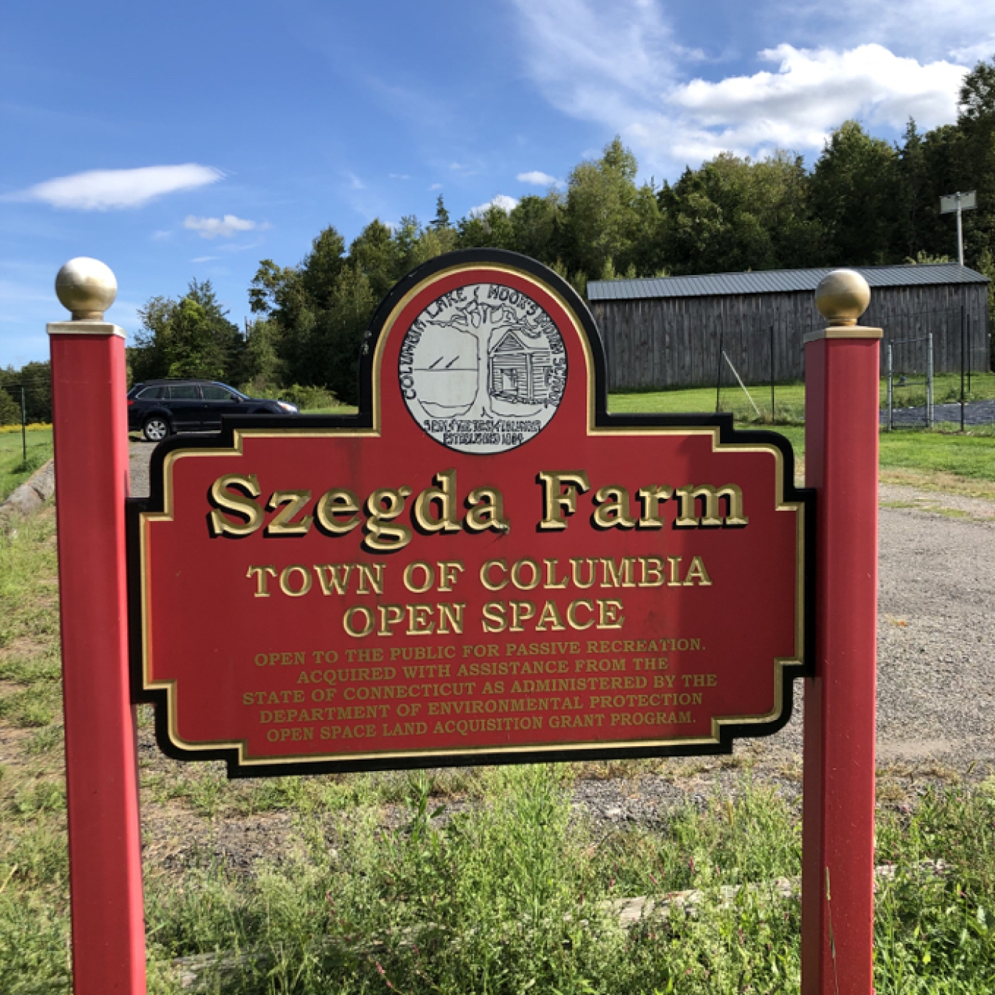
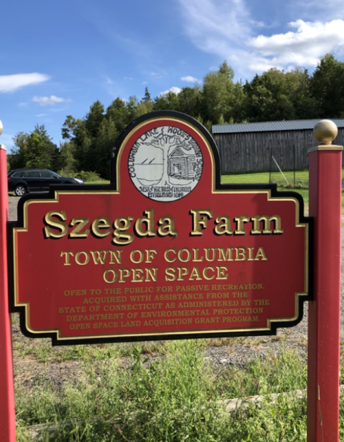
Szedga Farm
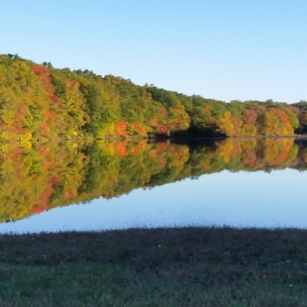
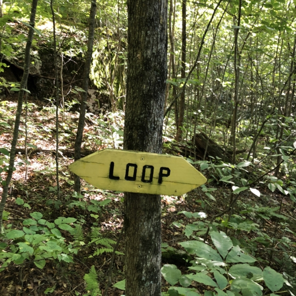
Szegda Farm has about 1.8 miles of trail broken into two sections. The original trails on the property are the “Upper Trails” a .35 mile purple blazed “Habitat Loop,” and a yellow blazed “Ridgetop Trail.”
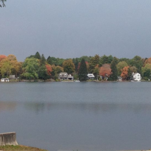
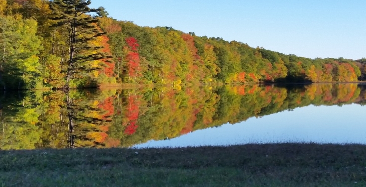
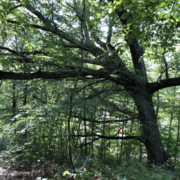
The purple loop begins and ends at the edge of the small dirt lot near 43 Szegda Rd. Mostly level, the trail skirts wetlands and private property. The backside of the loop crosses a seasonal stream and connects to the yellow trail. A brief ascent brings the trail to a mossy rock ridge outcrop before looping back through a hemlock grove. This section is easy and can be hiked in less than 20 minutes.
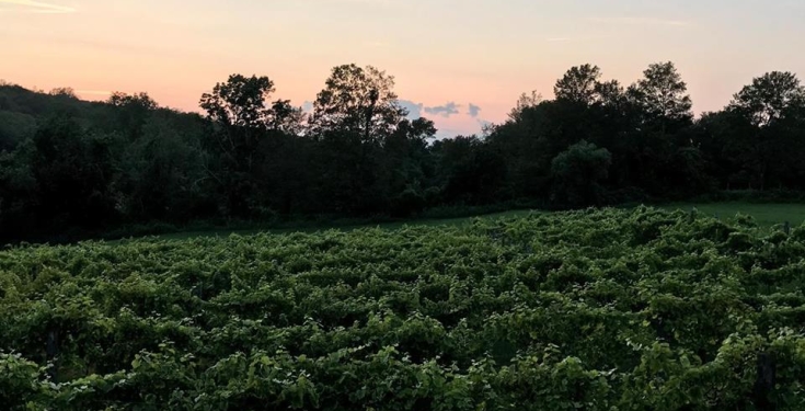
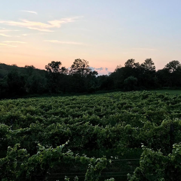
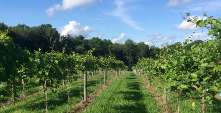
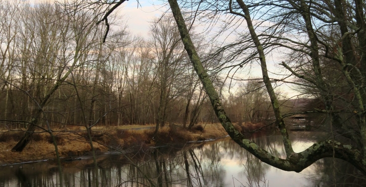
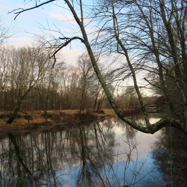
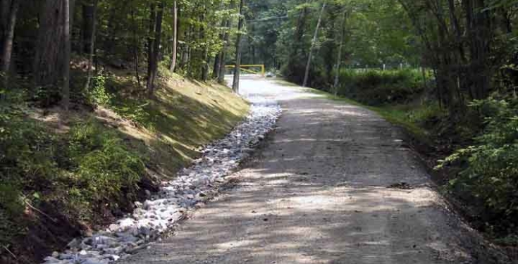
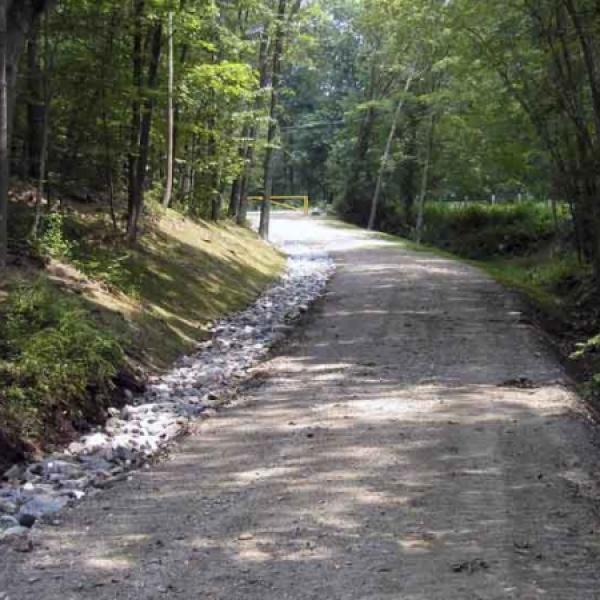
Those upper trails connect to the lower section via an unblazed trail through the field. The lower open space features a community garden and a pole barn that holds picnic tables and storage. This part of the property originally only contained a farm road to a former hayfield, but thanks to two Eagle Scout projects there are an additional two loops. Heading left from the trailhead is a red/blue blaze that soon separates.
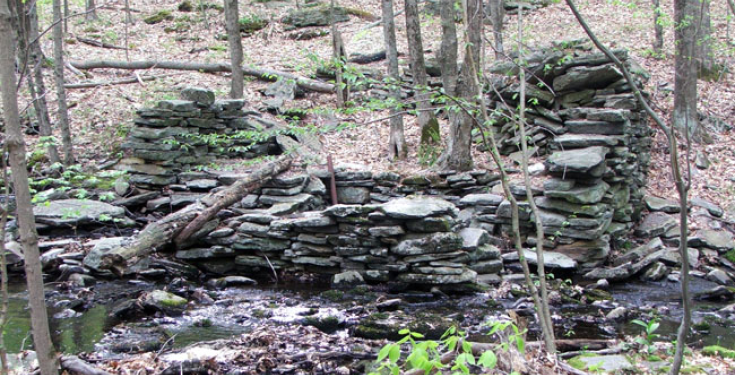
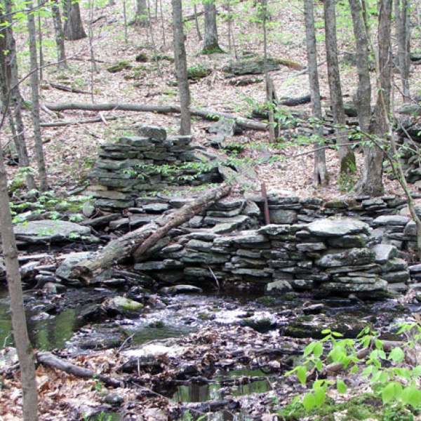
The red trail is a half mile that heads to the open field before looping back uphill. At the peak, as the trail crosses the powerlines there is a narrow overlook as the lines head downhill. The blue trail is known as the “Quarry Trail” though the reason for the name can be easily missed. There is a small rocky bald with seasonal views of the valley below.
Parking:
Upper Trails: small lot near 43 Szegda Rd.
Lower Trails: medium lot near 42 Szegda Rd.
Address
Szeda Rd.
Columbia, CT 06237
United States
Contact
While You're in the Neighborhood